When thunderstorms light up scientists' eyes: first results from the field campaign FESSTVaL

Mature organized thunderstorms are impressive weather systems extending over hundreds to thousands of kilometers. Yet, before reaching such impressive sizes, thunderstorms have to grow out of small clouds, in part through the help of cold pools. This transition happens at the kilometer scale, a scale not well observed by the operational surface network when one thinks that the mean distance between observing stations in Germany is approximately 25 km. From 17 May to 27 August 2021, scientists from 12 institutes deployed and looked after about 200 instruments to scrutinize the atmosphere at km-scale and the development of thunderstorms.
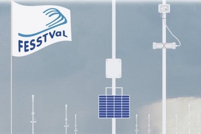
The field campaign FESSTVaL had three goals: measure km-scale variability; quantify km-scale variability and validate the representation of km-scale variability in atmospheric models. In terms of atmospheric processes generating such variability, FESSTVaL had a particular emphasis on cold pools, wind gusts and coherent patterns in the planetary boundary layer — the lowest part of the atmosphere. FESSTVaL took place in Lindenberg, at the Meteorological Observatory of the German Weather Service. It combined a dense network of surface observations, deployed in a circle of 15 km radius around Lindenberg, with a vertical profiling of the atmosphere at three supersites. A unique feature of FESSTVaL was the deployment of 150 self-developed and low-cost instruments.
As often in field campaigns, one of the main targeted processes, thunderstorms, became scared of so much attention and tried to hide away. Still, thanks to the long measurement period, 32 events with cold pools were captured. Cold pools are generated below thunderstorms due to the evaporation of precipitation. Our conceptual picture of a cold pool, derived from model simulations, is one of a circular pressure and temperature anomaly, with a cold core at the centre and increasing temperature towards the edge, as well as strong wind at the edge. FESSTVaL measurements confirmed this picture modulo two aspects: cold pools are not round but elongated in the wind direction; and the signals of a cold pool in different variables (temperature, pressure, wind) do not overlap well. This raises the question: where does a cold pool actually end?
Further information
FESSTVaL data are freely available from:
- https://www.cen.uni-hamburg.de/en/icdc/data/atmosphere/samd-st-datasets/samd-st-fesstval.html
- FESSTVaL Project website
Original publication
Hohenegger, C., and Coauthors, 2023: FESSTVaL: The Field Experiment on Submesoscale Spatio-Temporal Variability in Lindenberg. Bull. Amer. Meteor. Soc., 104, E1875–E1892, https://doi.org/10.1175/BAMS-D-21-0330.1.
Contact
Dr. Cathy Hohenegger
Max Planck Institute for Meteorology
cathy.hohenegger@mpimet.mpg.de
