ORCESTRA (Organized Convection and EarthCARE Studies over the Tropical Atlantic) buildt on the work of previous campaigns such as NARVAL (2013, 2016) and EUREC4A (2020). In the earlier projects, scientists investigated how small tropical weather systems, such as cloud clusters, influence large-scale weather movements. ORCESTRA focused on the drivers and effects of mesoscale convective organization in the tropics.
In the summer of 2024, ORCESTRA brought together eight independent measurement campaigns, each approaching the question from a different perspective:
How do clouds organize themselves and how does this influence our climate?
In total, ORCESTRA carried out over 2,000 atmospheric soundings (with radiosondes and dropsondes), 90 oceanographic profiles, 70 research flights, and 45 drone flights. In addition, nearly 14 TB of data was produced with the ICON climate model. More than 200 scientists and technicians from almost 50 institutions were involved in the campaign.
Focus on the measurement region
The region of the campaigns was the Intertropical Convergence Zone (ITCZ), which is an important part of the Hadley Circulation, a global circulation system. Air masses rise in the ITCZ, resulting in intense rainfall. This zone is central to the climate because it distributes heat and moisture worldwide and is responsible for about one-third of the world's precipitation. As the climate warms, the ITCZ is expected to change. However, climate models have difficulty accurately predicting these changes because of the complexity of the processes in the ITCZ.
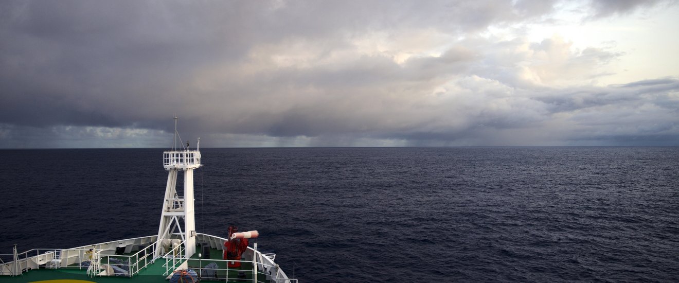
Recent findings show that mesoscale processes, i.e. meteorological processes with a horizontal extent of about five kilometers to several hundred kilometers, such as thunderclouds and squalls, also determine the overall picture of the ITCZ. This means that the effects of individual clouds must also be considered in order to correctly represent the large-scale circulation in the tropics. To better understand such mesoscale processes, they must be studied in more detail, for which climate scientists need models with higher resolution. A comprehensive description of the ITCZ requires profiles from the upper ocean to the tropopause, i.e. from a depth of up to 1.5 kilometers in the ocean to an altitude of 15 kilometers in the atmosphere. During the ORCESTRA campaign, three research aircraft, one research vessel, and two observation stations, one in Cape Verde and one in Barbados, as well as the EarthCARE satellite provided the data.
BOW-TIE is one of eight independent measurement campaigns carried out under the umbrella of ORCESTRA.
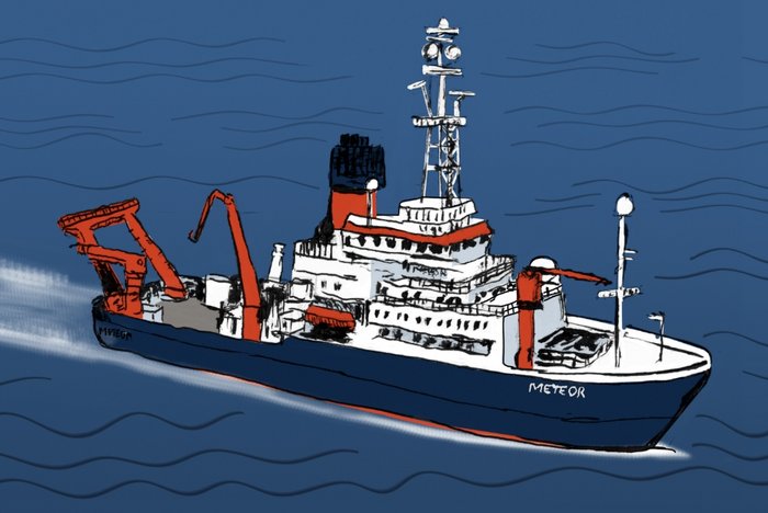
Infrastructure: Research Vessel METEOR
Region: Tropical Atlantic
Campaign period: August and September 2024, continuous measurements during weather events
Scientific director: Dr. Daniel Klocke, Max Planck Institute for Meteorology
Coordination: Yuting Wu, Max Planck Institute for Meteorology
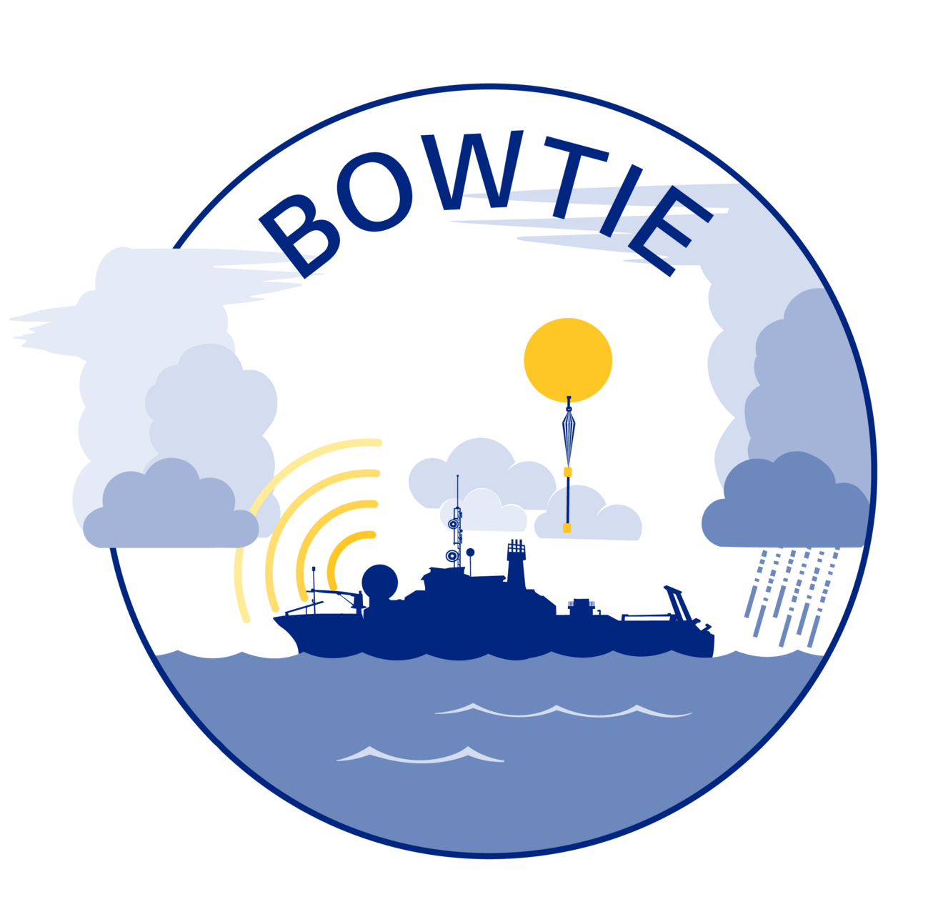
BOW-TIE
The BOW-TIE campaign investigated how thunderstorms and their interactions with the ocean modify the ITCZ in the Atlantic.
The BOW-TIE project was originally born out of a request for ship time in the year 2019—but then the pandemic hit. The postponement finally made it possible to combine a series of campaigns in space and time under the umbrella of ORCESTRA. The name of this measurement campaign was derived from the originally planned route of the research vessel, which was reminiscent of a bow tie. To understand the effects of convective storms on the properties of the ITCZ, the ship crossed and measured the ITCZ several times. The route allowed cross sections of the ITCZ (including the upper ocean) with the surrounding meteorological conditions to be linked to long-term buoy observations from the PIRATA network, which has been collecting meteorological and oceanographic data to improve weather forecasting and climate research since 1997.
The BOW-TIE measurements provide comparative data for climate models that can accurately represent storm-sized phenomena.
PERCUSION
PERCUSION is a German initiative that uses the German research aircraft HALO and ESA's EarthCARE satellite to study how tropical cloud patterns form over the ocean and how these clouds influence weather in larger regions.
PERCUSION builds on previous research projects such as NARVAL and EUREC4A by investigating additional weather phenomena and air particles over the tropical oceans. It extends the understanding of how clouds and air currents interact in these areas, especially near the Intertropical Convergence Zone (ITCZ).
This campaign will complement the previous EUREC4A measurements, which focused on the winter trade winds, and provide a more comprehensive picture of the tropical weather circulation. The effects of various air particles (aerosols) will also be analysed. The HALO research aircraft will fly for three weeks over the western tropical Atlantic from Barbados and for three weeks over the eastern Atlantic from Cape Verde. During these flights, clouds and air currents will be studied in different air masses: In the west, in relatively particle-free air or in old dust layers, and in the east, in air masses with high Saharan dust pollution.
The studies help verify and improve measurements from the EarthCARE satellite. EarthCARE observes clouds around the world. Data from HALO are used to ensure that EarthCARE data are accurate and reliable, allowing local studies to be extended to a global scale.
PERCUSION is one of eight independent measurement campaigns carried out under the umbrella of ORCESTRA.
Infrastructure: HALO research aircraft
Region: Tropical Atlantic
Campaign period: August and September 2024, selective measurements, targeted approach of specific phenomena
Scientific director: Dr. Julia Windmiller, Max Planck Institute for Meteorology
Coordination: Yuting Wu, Max Planck Institute for Meteorology