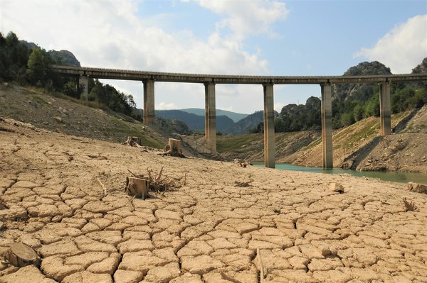
More weather extremes in Europe during the summer under climate change
Due to global warming, the North Atlantic Oscillation, an atmospheric circulation pattern that strongly influences European weather, is becoming more…
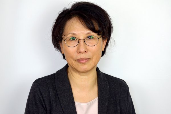
Jin-Song von Storch elected into the European Academy of Sciences
The European Academy of Sciences has elected Jin-Song von Storch as a new member, thereby honoring the climate researcher's outstanding scientific…

Weather forecasting and climate modeling move closer together
The ICON model can be used for weather forecasting as well as climate predictions and long-term projections. So far, however, the different…

Improving predictions of hot summers in Europe
Hot summers in Europe can be better predicted if anomalies in the North Atlantic heat transport are properly taken into account, according to a study…
Peter Korn awarded visiting professorship at Imperial College London
Peter Korn, group leader at the Max Planck Institute for Meteorology, has been appointed visiting professor at the renowned Imperial College London.…

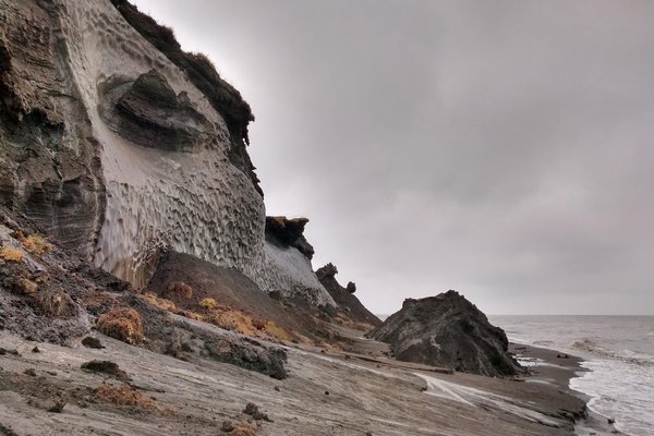
New climate model reveals the triggers of abrupt climatic changes in the past 20,000 years
Between the last glacial maximum and today, humans were exposed to severe changes of the climate: Coastal settlement areas were lost due to rising…
'I’m at a total loss for words at how hostility toward science has escalated in the U.S.'
MPI-M Director Jochem Marotzke shares his assessment of what the Trump administration's policies mean for national and international climate research…
![[Translate to English:]](/fileadmin/_processed_/a/5/csm_Noel_Hans_Chao_cbb534cbaa.jpg "[Translate to English:]")
Ocean, convection, adaptation: three new working groups starting at MPI-M
Three new working groups recently established at the Max Planck Institute for Meteorology (MPI-M) are tackling cutting-edge issues in climate…

A new generation of models for kilometer-scale climate projections
Imagine a future where climate science offers the appropriate tools to predict and thus help mitigate the impacts of climate change. This future is…

Lennart Ramme receives Wladimir Köppen Award
Lennart Ramme, a postdoctoral researcher at the Max Planck Institute for Meteorology, has been awarded the Wladimir Köppen Prize, endowed with 5000…
In years to come, the Arctic Ocean will absorb less CO2 than expected
We humans benefit from the oceans’ tremendous capacity to absorb greenhouse gases. Due to the low temperature of the water, the Arctic Ocean absorbs…

Why is climate stochastic?
A time series of a climate variable often resembles a random sequence. This apparent randomness is generally attributed to the unpredictable and…