Fairweather cumulus are here to stay after all!

Thick heaps of cotton, or piles of sheep wool, generously dappled across radiant blue: the skies over the subtropical oceans are teeming with fair-weather cumulus clouds. Taking a closer look is worthwhile, since these cumuli rising from bases at approximately 700 m to 2,000 m or more above the sea’s surface reflect the sun’s radiant energy, thereby moderating the surface warming by the sun. With a coverage of more than 30 percent of the trade wind zone, which, in turn, spans a fifth of the Earth, their effect is not to be taken lightly.
Past research suggested that precisely these clouds would be diminished by warming: they were thought to be sensitive to changes in mixing, which would lead to their dissolution as the seas warmed. At least, that is what some climate models had projected.
But is it actually true? A team of early career researchers from the Max Planck Institute for Meteorology (MPI-M) in Hamburg and the Laboratoire de Météorologie Dynamique (LMD) in Paris led the analysis of the EUREC4A data to demonstrate that nature behaved differently than our models, and clouds were not diminished by warming. Instead they found that cloudiness was largely supported by mesoscale (here this refers to scales of motions of about 200 km) motions that the climate models don’t incorporate.
First data ever – model and measurement
Some climate models predict that the trade wind cumuli will decrease significantly: as temperatures increase, the clouds transport more moisture to higher layers of air. Conversely, drier air descends from above. The absolute humidity thus increases overall, but the relative humidity in the lowest layers of air close to the cloud base would decrease. This makes a less favorable environment for cloud formation. And if cloudiness decreases in general, less sunlight is reflected overall, which leads to more warming, more mixing-induced drying, fewer clouds, and so on. Climate models that predicted higher than average warming with rising CO2 tended to express this mixing desiccation hypothesis more markedly than models that predicted lesser warming.
International cooperation – the scope
The German-French-Barbadian EUREC4A field campaign was conducted from the Caribbean island of Barbados in February 2020. It was designed and led by Prof. Bjorn Stevens, Managing Director of the MPI-M, and Dr. Sandrine Bony, Research Director at the LMD. The aim of the field campaign was to test the ideas stemming from analyses published by their respective groups in 2013 and 2014. Building on a now 12-year collaboration between the MPI-M and the Caribbean Institute for Meteorology and Hydrology (CIMH), led by Dr. David A. Farrell, as well as a series of earlier field campaigns, the researchers and their teams developed the methods EUREC4A would need to successfully test the mixing-desiccation hypothesis.
Clouds in 3D – tandem measurements in flight

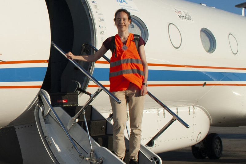
Two early career researchers were on site in Barbados: Dr. Geet George, who was working on his thesis with Bjorn Stevens at the MPI-M at the time, and Dr. Raphaela Vogel, who after finishing her PhD at the MPI-M had moved to Paris to work as a postdoctoral research with the team of Dr. Bony at LMD. She is now a research scientist at the University of Hamburg. “We performed the first real measurements to test the hypothesis,” said Dr. Vogel. The results proved to be a treasure trove of data overturning the prevailing assumption about the behavior of subtropical cumuli. In order to be able to make a statement about the large-scale cloud circulation on the mesoscale, “you have to measure the boundary conditions from an altitude and the clouds at their base at the same time. For that, it helps to have two aircraft,” explained Dr. George.
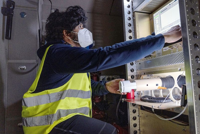
Accordingly, the German research aircraft HALO flew at an altitude of 10,000 meters. The data were gathered with the help of dropsondes launched through a shaft in the aircraft – Geet George’s role in the campaign. “During the flights, I was busy in the back of the aircraft dropping out a sensor package suspended by a parachute, or dropsondes, if you want to put it technically,” he said, describing the flight days on site. As the dropsondes descend through the cloud layer to the ground they radio the ambient temperature, humidity and position back to the aircraft where it is recorded.

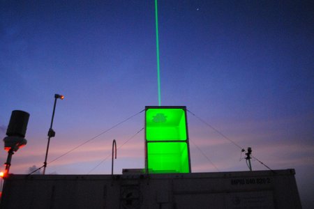
The French research aircraft, fondly known as the ATR-42, employed a newly developed technique to “scan” the cloud base horizontally. This was done by emitting pulsed radio and light beams that would be scattered back by cloud droplets. The backscattered radiation allows conclusions to be drawn about the presence of clouds and rain. All in all, five research aircraft, four research vessels and advanced, ground-based remote sensing technology were deployed in the field study.
What goes in, what goes out? – Conclusions from the mass budget
The mixing of air in the clouds was of particular interest. At approximately 200 km in diameter, the flight area was too large to measure this directly, so an alternative, indirect approach was required. The approach was proposed by Drs Bony and Stevens and initially tested using data from a preparatory field campaign in 2016. Dr. Vogel refined the approach with the help of detailed fluid dynamical simulations that she prepared and analyzed at the start of her PostDoc at LMD. “We determined the thickness of the lowest atmospheric layer, referred to as the sub-cloud layer, as well as all parameters that can affect this thickness. When doing so, we focused on the effect of the mesoscale circulation and the mixing in of warmer, drier air from above – in other words: what goes into the sub-cloud layer and what goes out of it. From the balance of this mass budget, the strength of the convection can ultimately be determined: if more goes in than out, more air rises in the clouds. If the reverse is true, it is less,” explained Dr. Vogel.
It will stay cloudy – partial all-clear
Dr. George and Dr. Vogel’s studies show that the trade-wind layer is more dynamic than expected. The intensity of the convection is extremely variable. However, this combined with greater mixing overall does not result in cloud desiccation. “The opposite is true: if the mixing is stronger, there tend to be more clouds,” explained Dr. Vogel. They could also understand the reason, as more mixing was associated with more shallow circulations on scales that climate models don’t represent, and the upward branch of these overturning circulations are, by virtue of transporting moisture upwards, moister.
So, global warming “isn’t that much of an issue after all”? “It certainly is!” emphasized Dr. Vogel. “The response of these trade wind cumuli doesn’t make the warming go away. It just does not strongly amplify warming, thus negating predictions made by some climate models of amplified warming due to the response of these clouds.” The study thus increases confidence in the middle of the road (ca. 3°C for a doubling of CO2) estimates for climate sensitivity, a degree of warming that certainly remains a cause for concern.
COVID-19 forged strong bonds – research during the pandemic
Nevertheless, it’s good climate news. Good, above all, that it came at all, given that the researchers returning from EUREC4A, quickly found themselves and the rest of the world immobilized by COVID-19. “We had the data in the can just before the pandemic was declared. Two months later and it would have been impossible,” explained Dr. Vogel. She and Dr. George returned to Hamburg from Barbados on 20th February 2020. “Suddenly, it was all about conducting research under the conditions imposed by a new disease affecting the whole world – with both negative and positive effects”, said Dr. Vogel.
“For example, instruments and components of the French aircraft were stranded in the port of Barbados for an incredibly long time. That meant that we only had access to certain data almost a year later.” On the other hand, the pandemic also helped as far as data analysis was concerned. “Those who had their data were able to dedicate their full attention to them. Otherwise, the next campaign for some of us would have started just two or three months later. As that was not the case, the EUREC4A data were processed much more quickly.”
In addition, a strong online discipline developed. The German-French team met via video conference once a week and always worked together in a focused manner for several hours. “I don’t know whether it would have been so intensive otherwise,” summed up Dr. Vogel. “In any case, we keep in contact and continue to enjoy working together very much.”
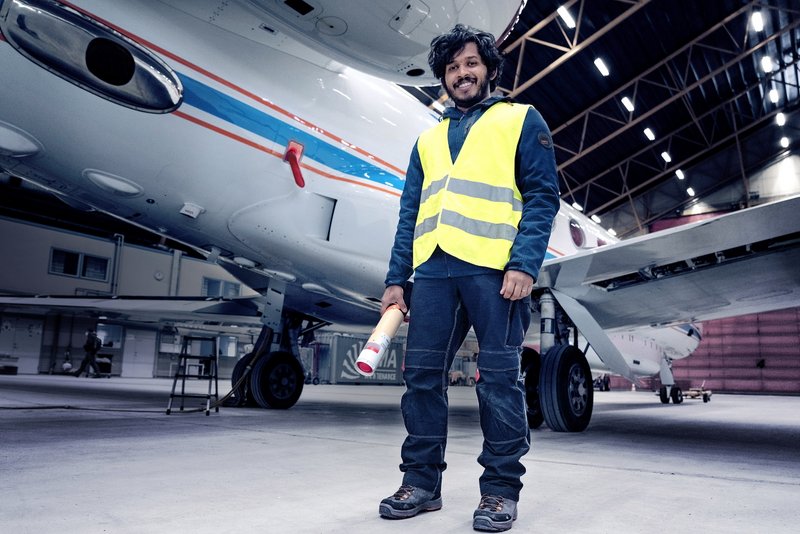
Photo credit: DLR
A prime example of organization – the next steps
In future, the focus will be on investigating the “motor” behind the mesoscale circulation. “Why do we see so much variability and what is essentially driving it? And how can we use it to predict cloud behavior more easily?” Dr. George — who recently accepted an assistant professor position at the Delft University of Technology (TU Delft) — will continue to work on these issues. “The type of circulation that we have discovered creates wetter and drier regions within the cloud layer, especially at the cloud base. The aim is now to utilize the moisture distribution to predict how the clouds will develop overall, including at altitude.”
The moisture distribution also contributes to determining the cloud patterns. How are clouds organized? What patterns might they form more frequently in the future? For example, will randomly distributed little clouds or larger clusters be more likely? Dr. Vogel will continue this line of research. She is particularly interested in the influence of precipitation: cold pools form as rain forms, and imprint themselves strongly on the patterns of clouds. Cold pools can be envisioned as bubbles of cold air that form by the evaporation of rain and spread out below the clouds, often giving rise to new clouds at their edge. These cold pools are the same as those that accompany rain showers in summer, when the air cools significantly close to the ground and strong gusts of wind occur, ahead of the rain. In the trade-winds, cloud formation is suppressed within these cold pools but boosted around the edge. In other words, they affect where clouds form and whether larger clouds form, which then bring more precipitation again. “Other pattern formations could emerge with global warming. The question is then whether and how that changes the overall cloud situation and consequently the radiation balance.” To investigate these ideas further Dr. Vogel is collaborating with the teams at MPI-M and LMD to organize another field study planned for the summer of 2024 in the tropical Atlantic, where deeper clouds form and rain is pronounced.
In the meantime the researchers continue to work with others to explore the wealth of EUREC4A data and begin combining it with fine-scale models to see what other secrets it might help reveal.
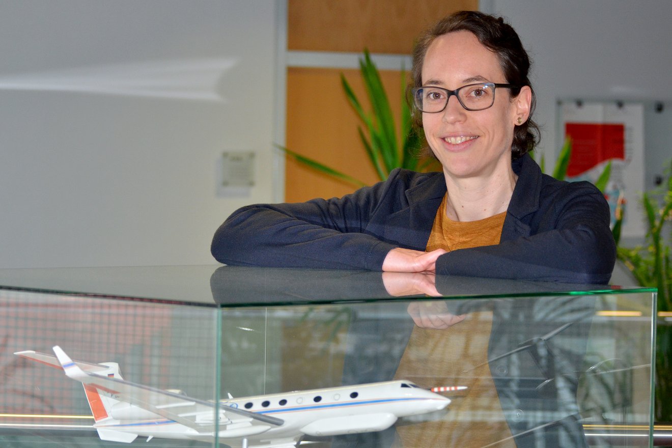
Photo Credit: MPI-M
Original publications
Vogel, R., Albright, A., Vial, J., George, G., Stevens, B., Bony, S. (2022). Strong cloud-circulation coupling explains weak trade cumulus feedback. Nature 612, 696–700 (2022). doi.org/10.1038/s41586-022-05364-y
George, G., Stevens, B., Bony, S., Vogel, R., Naumann, A.K. (under review in Nature Geoscience). Ubiquity of shallow mesoscale circulations in the trades and their influence on moisture variance. DOI: 10.1002/essoar.10512427.1
Contact
Dr. Geet George
Max Planck Institute for Meteorology
geet.george@mpimet.mpg.de
Prof. Bjorn Stevens
Max Planck Institute for Meteorology
bjorn.stevens@mpimet.mpg.de
Dr. Raphaela Vogel
Universität Hamburg
raphaela.vogel@uni-hamburg.de